Multisensor Tracking of Atmospheric Fireballs Enhances Global Planetary Defense and Situational Awareness

The high-altitude destruction of an extraterrestrial meteor high above the South Atlantic on April 1, 2026, has highlighted a major advancement in how scientific and defense agencies monitor fast-moving objects entering Earth’s atmosphere. The bolide, which detonated off the coast of Argentina, was captured not only by classified U.S. military and civil space-based sensors but also independently observed by civilian meteorological satellites orbiting thousands of miles above the planet. This dual detection marks a growing trend in geosciences and planetary defense: leveraging multi-sensor datasets to map the trajectory, structural integrity, and energy output of incoming space rocks with unprecedented precision.
As Earth continually sweeps through interplanetary debris fields, tracking these phenomena has evolved from casual stargazing into a critical branch of global security and planetary science. The integration of space-based optical equipment, ground-based seismic networks, infrasound arrays, and weather radar is transforming how researchers analyze the relentless influx of cosmic material, while simultaneously sharpening the distinction between natural meteors and human-made space debris.
The South Atlantic Bolide: A Case Study in Geostationary Detection
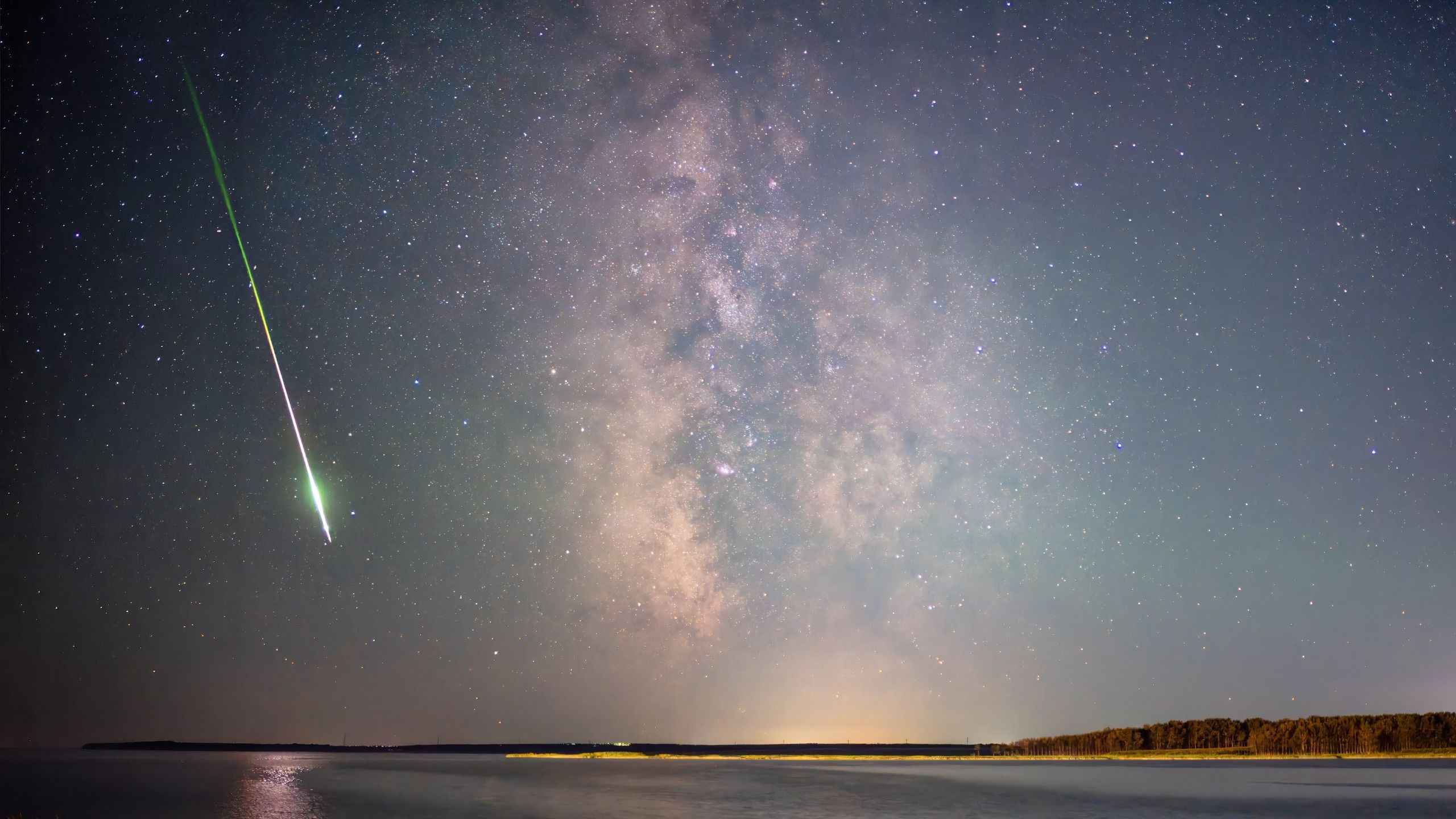
The April 1 event began when a hyper-velocity meteor plunged into the upper envelope of Earth’s atmosphere. Moving at tens of thousands of miles per hour, the rock experienced extreme aerodynamic pressure, culminating in a brilliant flash of light. U.S. government satellite sensors, engineered to detect fast-moving thermal signatures, recorded the object as its brightness peaked at an altitude of approximately 60 miles (90.5 kilometers) over the South Atlantic Ocean.
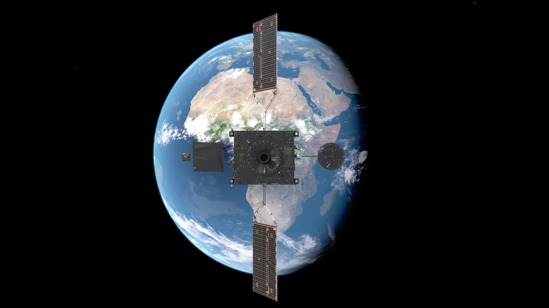
Simultaneously, civilian meteorological infrastructure unexpectedly caught the show. Two independent geostationary satellites—the National Oceanic and Atmospheric Administration’s (NOAA) GOES-East spacecraft and the European Organisation for the Exploitation of Meteorological Satellites’ (EUMETSAT) Meteosat Third Generation (MTG) Imager-1—registered the bolide using their onboard lightning-mapping instruments. While these high-resolution optical sensors were designed primarily to monitor severe weather and electrical storms across Earth’s disk, their high frame rates and sensitivity to sudden flashes of light provided a fortunate secondary application.
Planetary defense specialists note that utilizing civilian weather satellites for bolide detection offers a distinct advantage over relying solely on restricted military sensors. Because the data originates from open meteorological platforms, the global scientific community can freely discuss, analyze, and cross-reference findings without compromising sensitive security protocols.
Chronology of Recent Major Atmospheric Impact Events
To understand the trajectory of modern atmospheric monitoring, researchers point to several pivotal recent events that have shaped current analytical models:
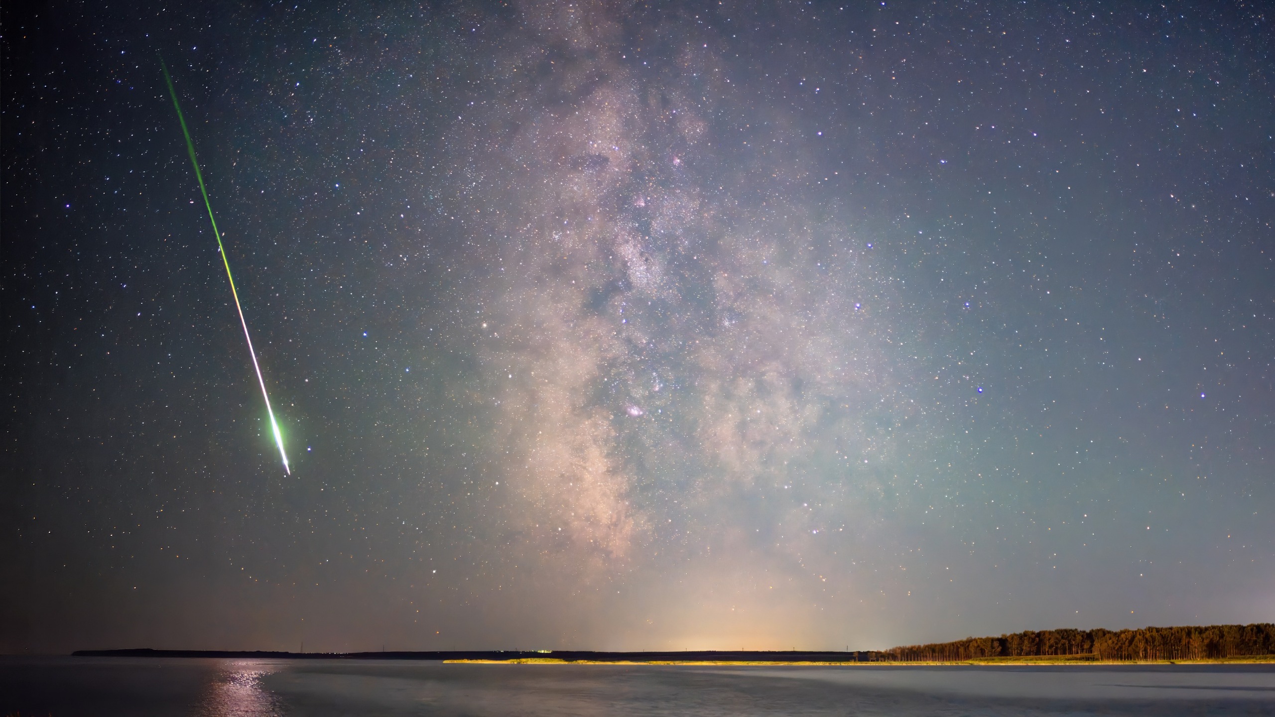
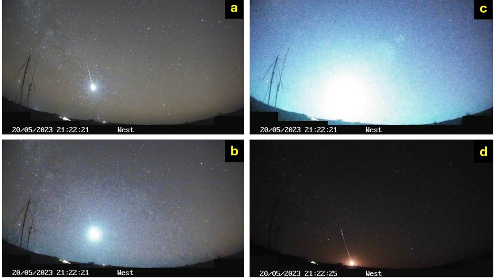
May 20, 2023: A massive superbolide measuring roughly 12 feet (3.7 meters) in diameter entered the atmosphere over northwest Queensland, Australia. Accompanied by massive sonic booms, the object underwent catastrophic fragmentation. Data from NASA’s Center for Near-Earth Object Studies (CNEOS) confirmed it was the most energetic event recorded over Australia and ranked among the top twenty globally since 1988, packing an explosive yield equivalent to a 7.1-kiloton TNT blast.
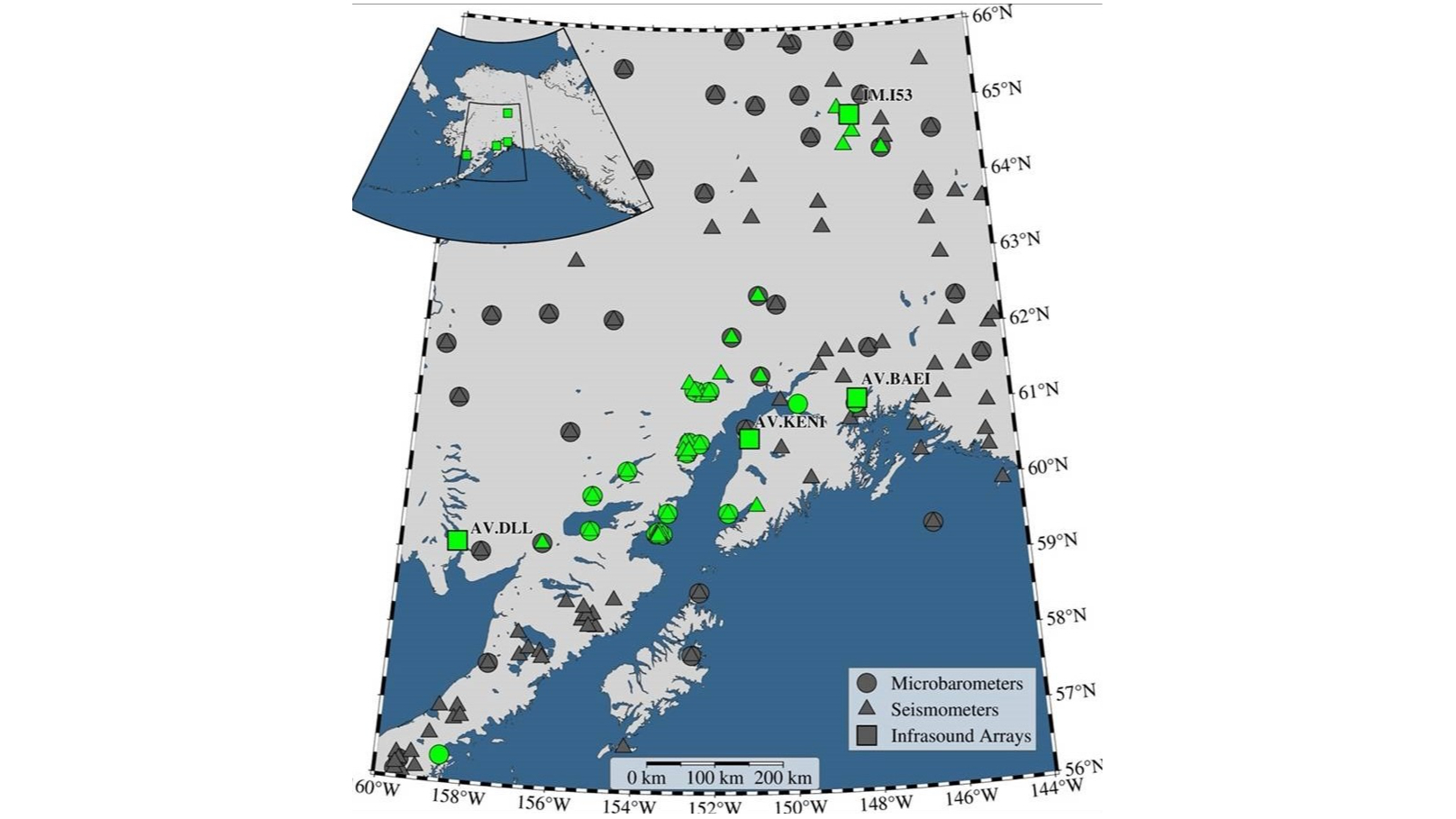
April 24, 2025: A stealthy fireball streaked across south-central Alaska. Unlike many high-energy events, this meteor slipped past initial U.S. government space-based sensor detection systems. However, a dense, localized terrestrial network captured one of the most comprehensive seismoacoustic datasets in history.
April 1, 2026: The South Atlantic bolide detonated off Argentina, vividly demonstrating the capability of geostationary lightning imagers to record high-altitude atmospheric entries across vast oceanic regions.
Unlocking the Power of Seismoacoustic and Multi-Sensor Data
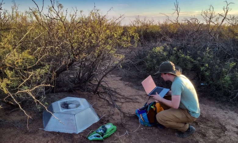
The Alaska event of April 2025 stands as a watershed moment for scientists studying atmospheric impacts. Because the initial space-based defense sensors missed the event, researchers were forced to rely entirely on ground-based architecture. A regional network comprising 37 seismic stations, 16 single infrasound sensors, and four infrasound arrays successfully recorded 30 distinct ballistic arrivals and multiple fragmentation phases.
Furthermore, Doppler weather radar systems in the region detected the descent of surviving meteoritic material falling toward the ground in what researchers call "dark flight"—the phase after the meteor has lost its luminous cosmic velocity and falls under the influence of gravity and wind.
Elizabeth Silber, a senior research and development physicist at the Department of Energy’s Sandia National Laboratories, emphasizes that this multifold approach is revolutionizing the field.
"When a U.S. government detection is available, civil data can independently validate it and add much more detail," Silber explained. "When one is not available, as in the case of Alaska, the civil networks can still provide a surprisingly complete reconstruction."
According to Silber, no single instrument can tell the complete story of an atmospheric entry. Seismic and infrasound arrays record the low-frequency acoustic shock waves that travel through the ground and air, constraining the object’s trajectory and fragmentation history. Optical networks provide visual confirmation of luminosity, while weather radar tracks surviving particulate matter. By combining these disparate data streams, scientists transition from merely knowing an event occurred to constructing a forensic timeline of how the rock traveled, where it broke apart, and the total energy released.
The Imperative of Planetary Defense and Global Security
Beyond the academic pursuit of understanding solar system dynamics, improved fireball tracking serves a vital geopolitical and defensive function. Rob Landis, a planetary defense specialist and visiting vehicle integration manager at NASA’s Johnson Space Center, highlights the dual-use nature of modern atmospheric monitoring.
"Planetary defense is not only about finding an object before it reaches Earth," experts and researchers stress. It is equally about understanding the physics of atmospheric entry—predicting how objects fragment, where they deposit their explosive energy, and whether dense fragments can survive passage through the air to impact populated regions.
Furthermore, geopolitical stability relies heavily on accurate sensor interpretation. In an era of heightened global tensions, a sudden, high-energy atmospheric explosion caused by a natural meteor could theoretically be misconstrued by defense networks as a hostile ballistic missile launch or a preemptive strike. Establishing a robust, open-source network of civilian, meteorological, and scientific sensors ensures that anomalous atmospheric flashes are correctly identified as natural space debris long before misinterpretations can trigger diplomatic or military crises.
As smaller space rocks and human-made orbital debris continue to burn up in Earth’s atmosphere with regular frequency, the integration of lightning imagers, seismic grids, and infrasound arrays provides an essential early-warning and analytical safety net. These real-world tests of our observational models ensure that science remains prepared for the relentless, unpredictable rain of material falling from the cosmos.